Tag
IDL
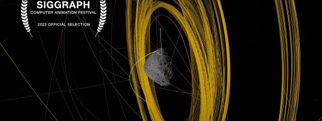
A Web Around Asteroid Bennu
Official Selection – 2022 SIGGRAPH Computer Animation Festival 101955 Bennu is one of Earth’s closest planetary neighbors – an asteroid roughly the height of a skyscraper, and since late 2018, the place that NASA’s OSIRIS-REx mission has called home. When OSIRIS-REx arrived on December 3, 2018, it began wrapping Bennu in a complex web of observations. OSIRIS-REx departed Bennu on May 10, 2021 on a return voyage
Read MoreDate: 12 May 2016
Comment: Comments are off
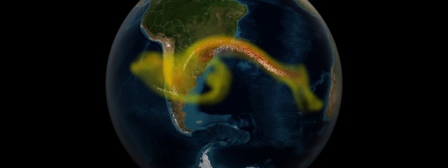
Calbuco Volcano Eruption
Visualization of results from a supercomputer model of ash and sulfur dioxide spreading from an eruption of the Calbuco volcano in April 2015. The supercomputer combines the physics and chemistry of the atmosphere with data from the NASA/NOAA/DoD Suomi NPP satellite to model the full three-dimensional structure of the volcanic cloud. Model data is compared to observation data collected from the NPP satellite. Data wa
Read MoreDate: 01 Oct 2015
Comment: 0
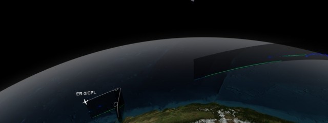
CATS/CPL Underflight
NASA’s Cloud-Aerosol Transport System, or CATS, is a lidar remote-sensing instrument taking measurements of atmospheric aerosols and clouds from the International Space Station (ISS). Launched to the ISS in January 2015, CATS is specifically intended to demonstrate a low-cost, streamlined approach to developing ISS science payloads. The CATS mission extends the data record of space-based aerosol and cloud measurement
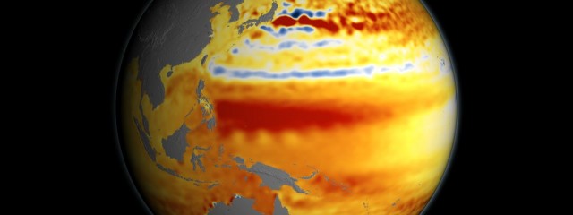
Read More22-year Sea Level Rise
This visualization shows total sea level change between 1992 and 2014, based on data collected from the TOPEX/Poseidon, Jason-1, and Jason-2 satellites. Blue regions are where sea level has gone down, and orange/red regions are where sea level has gone up. Since 1992, seas around the world have risen an average of nearly 3 inches. This visualization was used as part of NASA’s presence at the 2015 United Nations
Read More
© 2012 Kel Elkins. All Rights Reserved.


