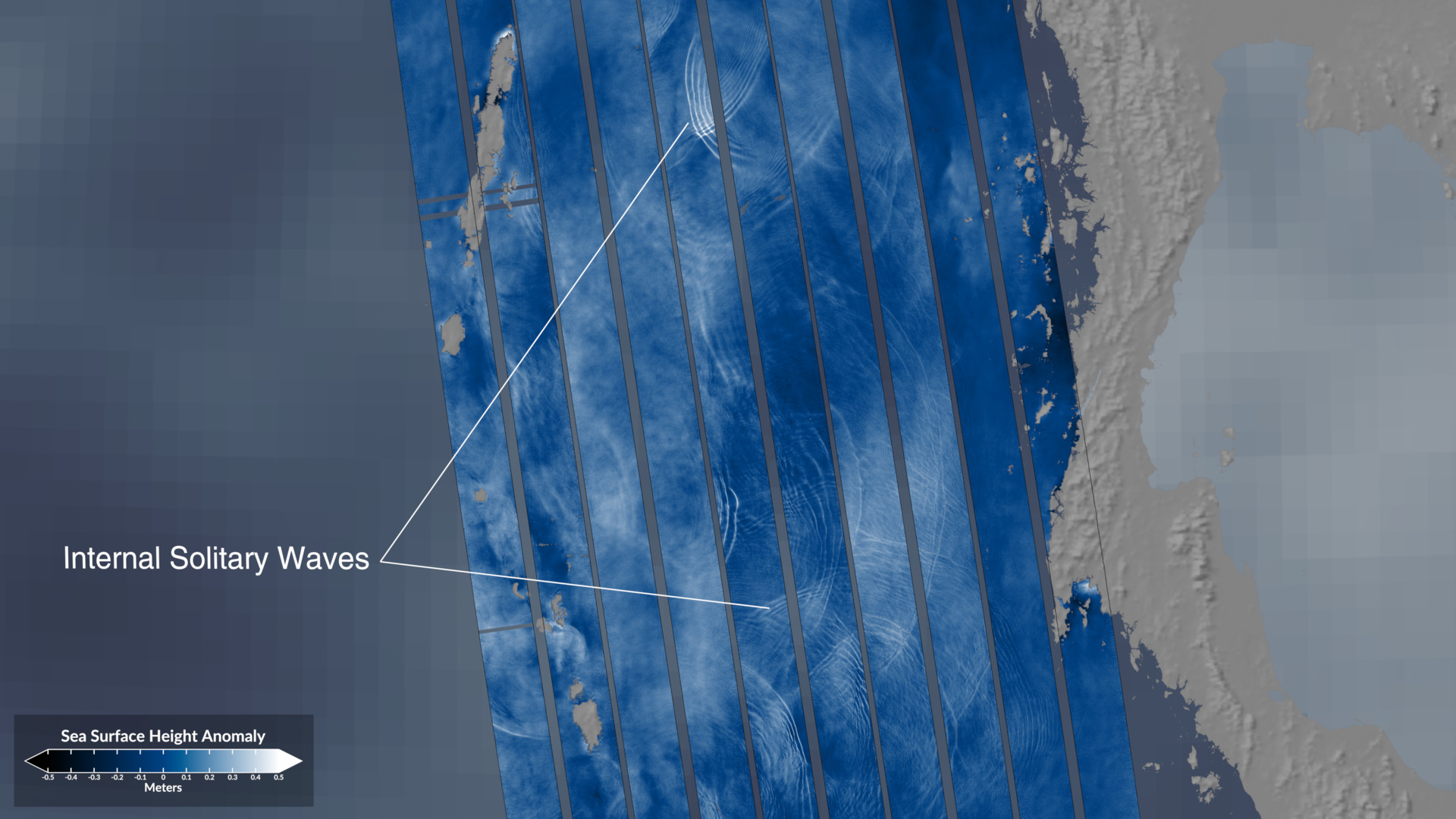
This visualization reveals ocean surface phenomena captured by NASA’s SWOT (Surface Water and Ocean Topography) satellite. Beginning with a global perspective of conventional sea surface height anomaly (SSHA) data, the animation then showcases SWOT’s orbital path and ground swath coverage (displayed in orange). As the view transitions to select regions of interest, SWOT’s high-resolution SSHA measurements unveil detail impossible with previous satellite technology. The visualization clearly distinguishes ocean surface waves, internal solitary waves, and submesoscale eddies—critical features for understanding ocean dynamics and energy transfer. The color gradient ranges from dark blue (representing lower surface heights) to white (indicating higher surface heights), allowing viewers to immediately grasp the three-dimensional nature of these ocean phenomena.
See more here: https://svs.gsfc.nasa.gov/5538/
SWOT: High-Resolution Sea Surface Height